Saugeen Shores Bike Map
GIS Mapping and Map Design
2018
Professional
Saugeen Shores, ON
Affiliation: Saugeen Shores Municipality
Designer: Kaleigh Morris
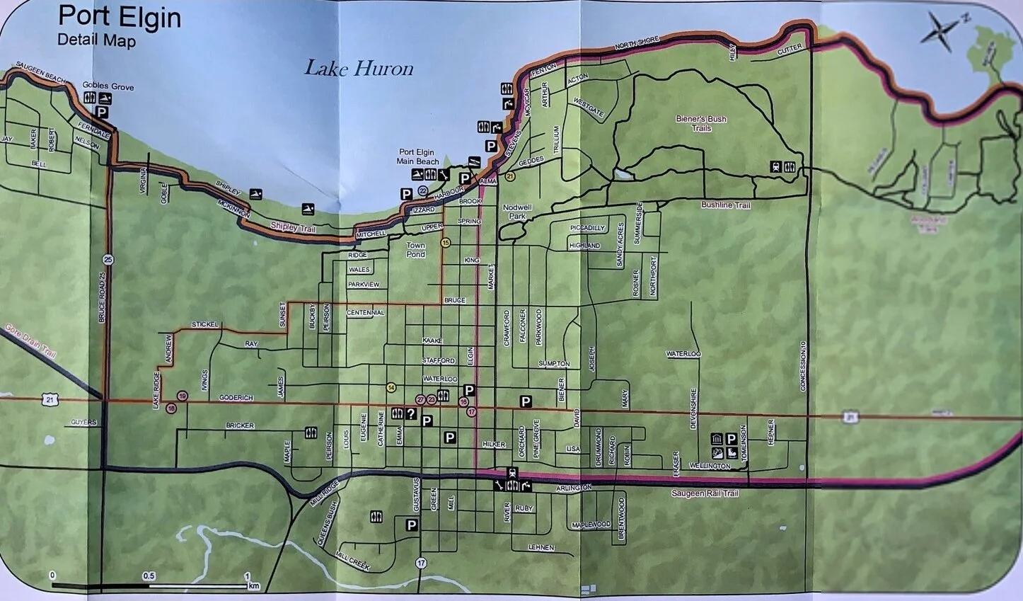
Overview: This project focused on creating a bike map for the Saugeen Shores Municipality. I worked with the parks department to bring their vision to life. The goal was to create a map that depicted all trails and park amenities for tourists and residence. I created the map using GIS software.
Learnings: This was the first project that I have worked for a municipality. I found it challenging at times to co-ordinate ideas with members of the parks department. I learned the importance of collaboration between several departs within the municipality.
Online App
This map is available online for residents and visitors to explore Saugeen Shores walking and biking trails. Saugeen Shores include Port Elgin and South Hampton, this app allows users to zoom in and out between the two. Users are also able to overlay layers on the map. This helps with the apps legibility because users can display just the layers they want to explore.


Print Version
For this project I was asked to also deign a hard copy of the map. Although it was difficult, I found it fun to design for a different media. I was asked to display all trail and amenities on the map. I chose to include on large map that included all of Saugeen Shores (Port Elgin and South Hampton). As well as two zoomed in maps to each area.